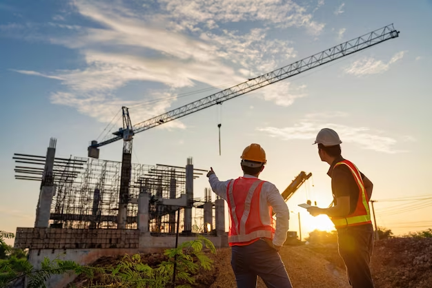
Before purchasing a property, we have to know about the boundary line. Otherwise, arguments will arise later without having any clear boundaries, whether the property [Read More…]
Many legal and real estate professionals involved with land projects are familiar with the term called ALTA surveying. The governing body has established a new [Read More…]
Land surveying is a world unto itself, involving the use of mathematics, specialized software, and equipment to measure and map the environment around us. Land [Read More…]
When undertaking any construction or development project, the first step is to conduct a topographic survey. A topographic survey prepares a 3-D portrait of your [Read More…]
Land surveyors are required to offer precise information on the land when civil engineers initially prepare to develop a property. As a result, civil engineers [Read More…]
Generally, there is no set of rules on how the experts should conduct the land survey. The land surveyors basically create maps of the property [Read More…]
Until features and proportions of the building plans are measured at ground level, builders cannot begin the logistics of a building project. This needs construction [Read More…]