
When undertaking any construction or development project, the first step is to conduct a topographic survey. A topographic survey prepares a 3-D portrait of your property in a 2-D medium. The survey results determine the rest of the steps in the project development. It can prevent any nasty surprises during the construction and potentially save you thousands of dollars.
Before we begin this blog, it would only make sense to understand the exact job topographical surveyors perform.
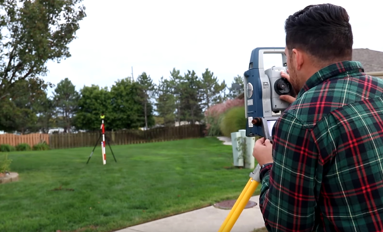
What Does a Topographical Surveyor Do?
Defined in simple words, a topographic survey is the process of locating and mapping every surface feature of a specific piece of land. Typically, a survey will include the following –
- Contours – The contours deal with the peaks, valleys, depressions, and protrusions of the land. Any significant drop or increase in vertical height is documented under contours.
- Utilities – Utilities are manmade and include power lines, pipelines, and electrical boxes. This also presents information on identifying underground utilities.
- Vegetation and Other Attributes – Streams, wooded regions, large (natural) rock structures, and water bodies fall under vegetation and physical attributes.
Why Is a Topographical Survey Important?
Collect Needful Land Data Before Working With It
As you might have already guessed, a topographical surveyor gathers important data about the land prior to undertaking construction in the area. It pulls over the curtain from issues that might not outright present themselves to the oblivious eye. This can also save a lot of dollars.
Information On Previous Changes Made To The Land If Any
A survey also provides information on whether any previous changes were made to the land. It draws to the forefront, features hidden in plain sight. The data you collect can also lay bare the changes that have occurred over a period of time. ‘
Ensure Construction Projects Are Long-Standing
The final and probably the most important reason for holding meticulous topographical surveys is to ensure that the structures constructed are durable. It gives engineers and architects the data required to calculate and overcome topographical irregularities that can otherwise crumble the construction to dust within a few years.
Where Does Redhawk Land Surveying Come in?
At Redhawk, we have been professionally surveying land for 20 years. Our core tenets of operation include quality workmanship and punctuality. Reach out to us via our website for more information on availing of our services.


+ There are no comments
Add yours