Land surveying is a world unto itself, involving the use of mathematics, specialized software, and equipment to measure and map the environment around us. Land surveyors can calculate everything on the ground, sky, or at the depth of the sea, including polar ice caps.
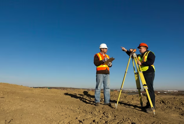
Both in the office and out in the field, land surveyors are needed. They can use cutting-edge equipment in the field for mapping, computing, and evidence photography. Land surveyors work on a wide range of projects, from land development to mining discovery to tunnel construction and big construction, ensuring that no two days are the same. They are the ones who have a lot of experience surveying and calculating land size. Their area of expertise is providing guidance and information to designers, architects, and developers.
When it comes to property development, land surveyors play a crucial part in everything from land subdivision planning and design to final road, utility, and landscape construction. On any construction site, land surveyors are the first individuals to be contacted for land computation and charting. Then there are the architects, who use these important measurements to comprehend and maximize the landscape while creating, and the engineers, who plan structures effectively and safely, guaranteeing that buildings not only fit into the landscape but can also be built.
Land Surveying’s Importance in Road Construction
A land surveyor is frequently employed during the construction of a road to conduct studies to determine how and where the project is progressing. When a building is finished, an inspection can be performed to identify the specific design of the region’s characteristics, installations, and obstructions.
Land inspectors are frequently required for this type of construction activity all around the world. Land surveyors will examine the current land situation to determine the most efficient technique to transport the least amount of soil. The surveyor will also assist engineers in the flawless mapping out of the best potential roadway paths. The requirement of a bridge or tunnel is sometimes the most difficult aspect of establishing any institution, and the inspection team can help ensure they are placed exactly where they are needed.
Following completion of construction, an inspector would be employed to assist in the repair or reconstruction of the road in the event of an accident. GPS and 3D mapping technology will be critical in these types of studies since they provide more exact geographic data.
Extra surveys are required after the construction of any highways, and the same is true for road repairs or maintenance, which may be required for a variety of reasons. Highway surveys will be employed during any and all phases of the accident reconstruction process.
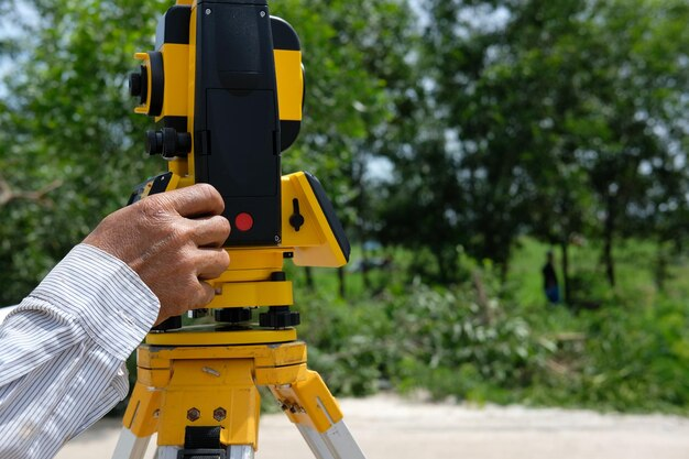
Following then, the road measurement technique for a research required the entire roadway to be blocked in order for the study team to install devices on the highway’s surface. Today, unique laser equipment allow this to be done from the side of the highway, removing the need to close streets or lanes almost entirely. These technologies provide incredibly exact data for creating detailed 3D maps that include not only roads but also obstructions, overhead wires, and other features.
See us at Redhawk Surveying for detailed guide on surveying. We do ALTA survey, boundary survey, topographical survey and more.





+ There are no comments
Add yours