
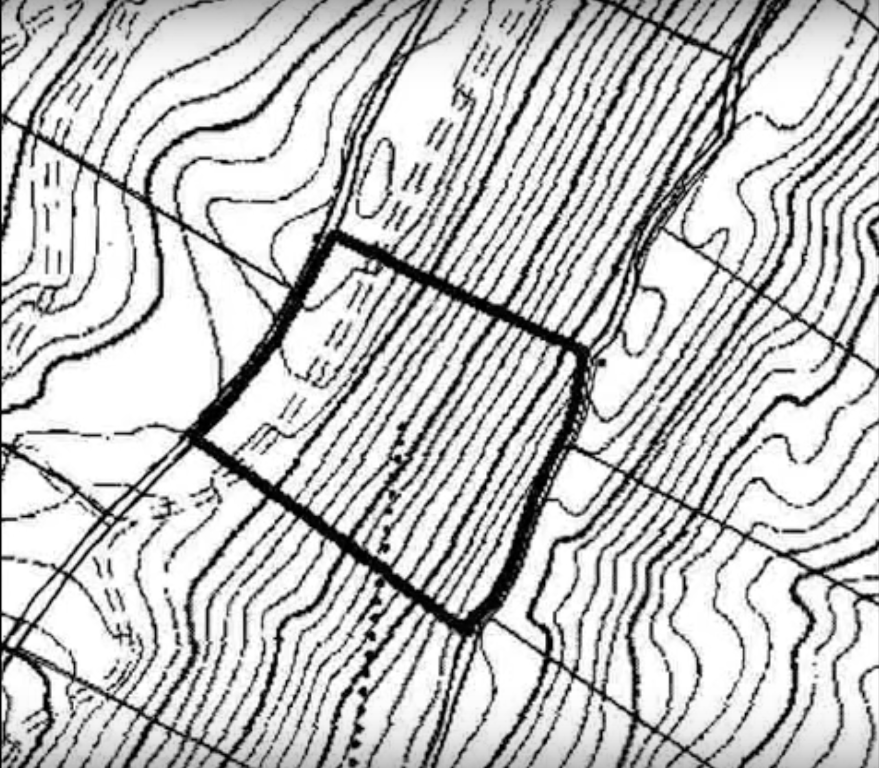
A topographical survey is different from other surveys by studying and measuring the surface of the land. Topographical survey measurements are carried out using both GPS or Global Positioning System and Electronic Distance Metering (EDM). The parcel elevation is shown on the map of the survey via contour lines representing the Earth’s surface’s contours and also via elevations at different spots on the map.
The topographical surveys refer to both natural and human-constructed surface characteristics such as storage walls, gas lines, wells, trees, lakes, closed spaces, buildings, utility poles, etc.
Who Uses It?
To see the surface elevation of the land and whether dirt must be inserted or removed to adjust the property grade, engineers need a topographical examination.
Architects could use the survey for the construction of a 3D plot of their design. This plot can be submitted before talking with decision-makers for approval. For your project in Edmond, call our topographical surveyors from Red Hawk Surveying for your land survey.
If a building site is limited by significant topographical challenges, such as steep grades, existing man-made structures, or other problematic conditions, a topographical inspection should be used to ensure that the design proposed will work under these conditions before construction starts.
Government agencies also use topographical surveys to produce, implement, evaluate existing infrastructure, carry out required revisions consider environmental projects, and implement the Construction and Zoning Regulations.
Necessity
To understand the form, level, shape, and geographic position both of the natural and unnatural land features, topographic surveys are crucial— whether it is a small garden, a highway, a farm, or even a national park. The topographical surveys can probably be the most popular application in establishing the limits of land or property. This survey aims primarily to gather data on the characteristics of the land and its altitude. The result, usually a two-dimensional map of the property, depicts the relative elevation and position of man-made and natural features in a landscape.
Topographical surveys for changes in ownership of the property or land, known also as contour surveys, must be conducted before the owner makes changes. Safety is also an extremely important reason for topographical surveys. Inaccurate, incomplete, or old underground records may jeopardize your projects. Therefore, you should be careful while choosing your topographical surveyor in Edmond.
We use the latest techniques and technology to provide services, survey models, drawings, GPS surveys, civil or building construction surveys, triangulation and contour modeling, and land surveys (small to large scale). Our company can provide you with a one-stop shop to evaluate the site for your project. Come to Red Hawk Surveying, and ask our Topographical surveyors in Edmond to survey your land to make your project easier.


+ There are no comments
Add yours