
According to research, the US military developed the Global Positioning Systems (GPS) in 1973 with the help of the first satellites that were launched in 1978. At first, only the military used the GPS. But now anyone can access it with a GPS receiver. You can achieve proper technique millimeter-level accuracy on the earth by using survey-grade elements in a static position. Nowadays, GPS technology is available to everyone and we cannot think of our daily life without GPS. You should know that GPS is an important part of the various business such as,
- heavy haul trucking fleet management,
- construction machine control,
- cargo ships
- Smartphones for personal navigation.
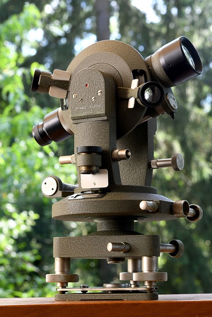
The people who do boundary Surveys and Construction Surveying have to take help from GPS technology to work properly. Generally, for land Surveyors, GPS instruments are more perfect compared to a consumer-grade handheld unit. Any land surveyor cannot continue their work properly without GPS technology.
The GPS system is divided into three parts.
- The Space Segment,
- Control Segment
- User segment
Advantages of GPS Technology Over Conventional Surveying
- GPS technology can measure a baseline and yield the distance between the start and end stations.
- Remember that the GPS surveying component is very weatherproof. Hence, the land surveyors can continue the observation process in any weather even in thick fog situations.
- The current survey data collection and GPS receiver’s software can allow the one-person operation. It can save huge expenses and precious time.
- GPS surveyors do not need a huge amount of technical knowledge to do the basic operations.
- You can take accurate GPS measurements anywhere on sea, land, and air.
- Keep in mind that continuous measurement observations can be carried out for real-time deformation monitoring on structures including bridges, overpasses, buildings, and dams.
- The GPS technology eliminates the need for geodetic survey networks of conventional survey observations.
The Few Difficulties You May Found
- If you want to track and observe the satellite, then you need a clear sky.
- You cannot continue GPS surveying underwater, indoors and underground.
- Generally, more than two Stations depend on the manufacturer in order to get the survey-grade receivers. These are very expensive.
Contact Us
If you want to do a boundary survey before buying or selling, then you should contact professional land surveyors. You can also contact Red Hawk Surveying in Edmond.


+ There are no comments
Add yours