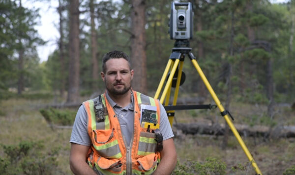
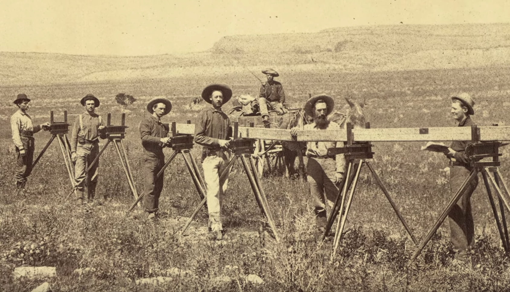
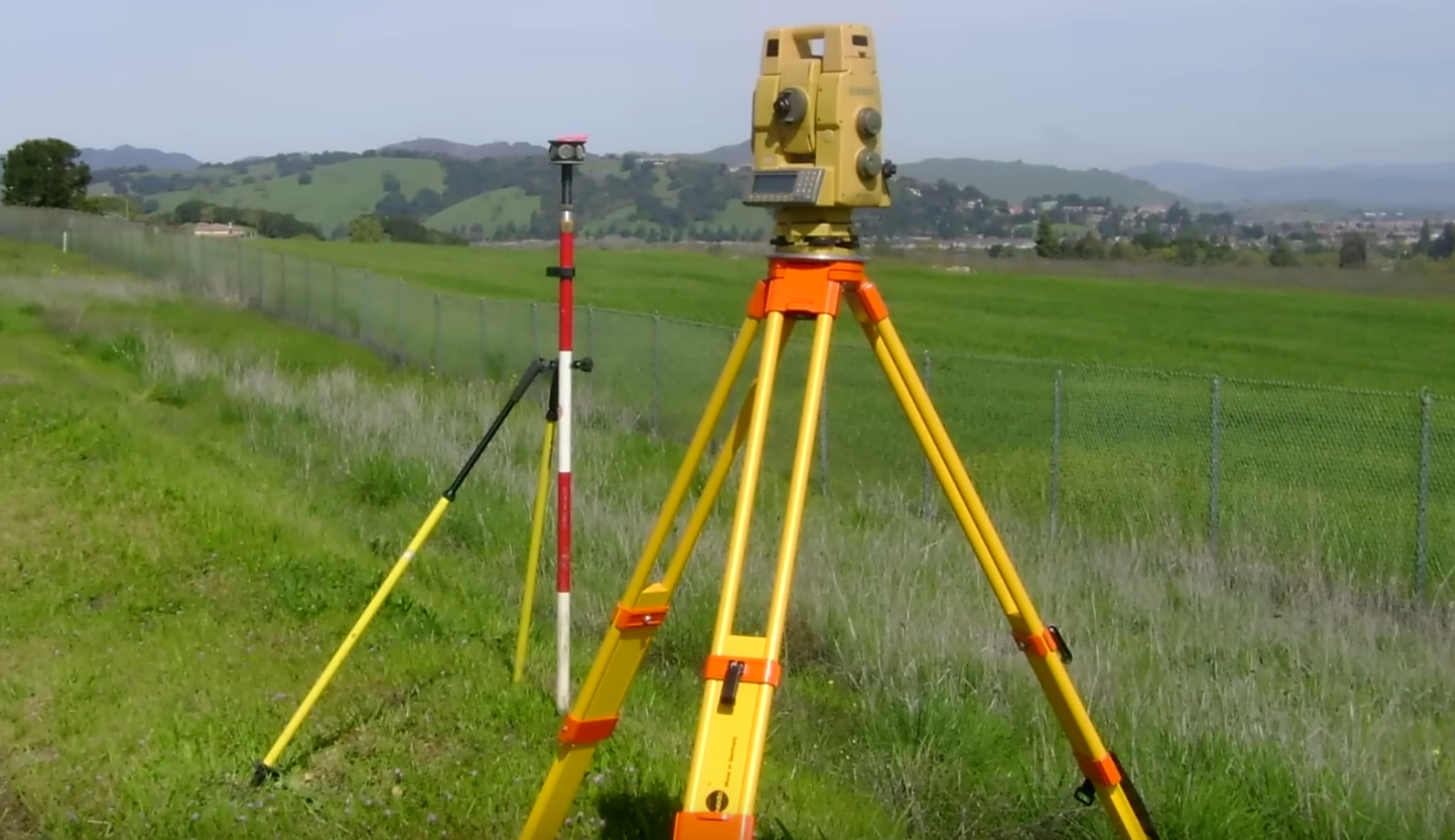
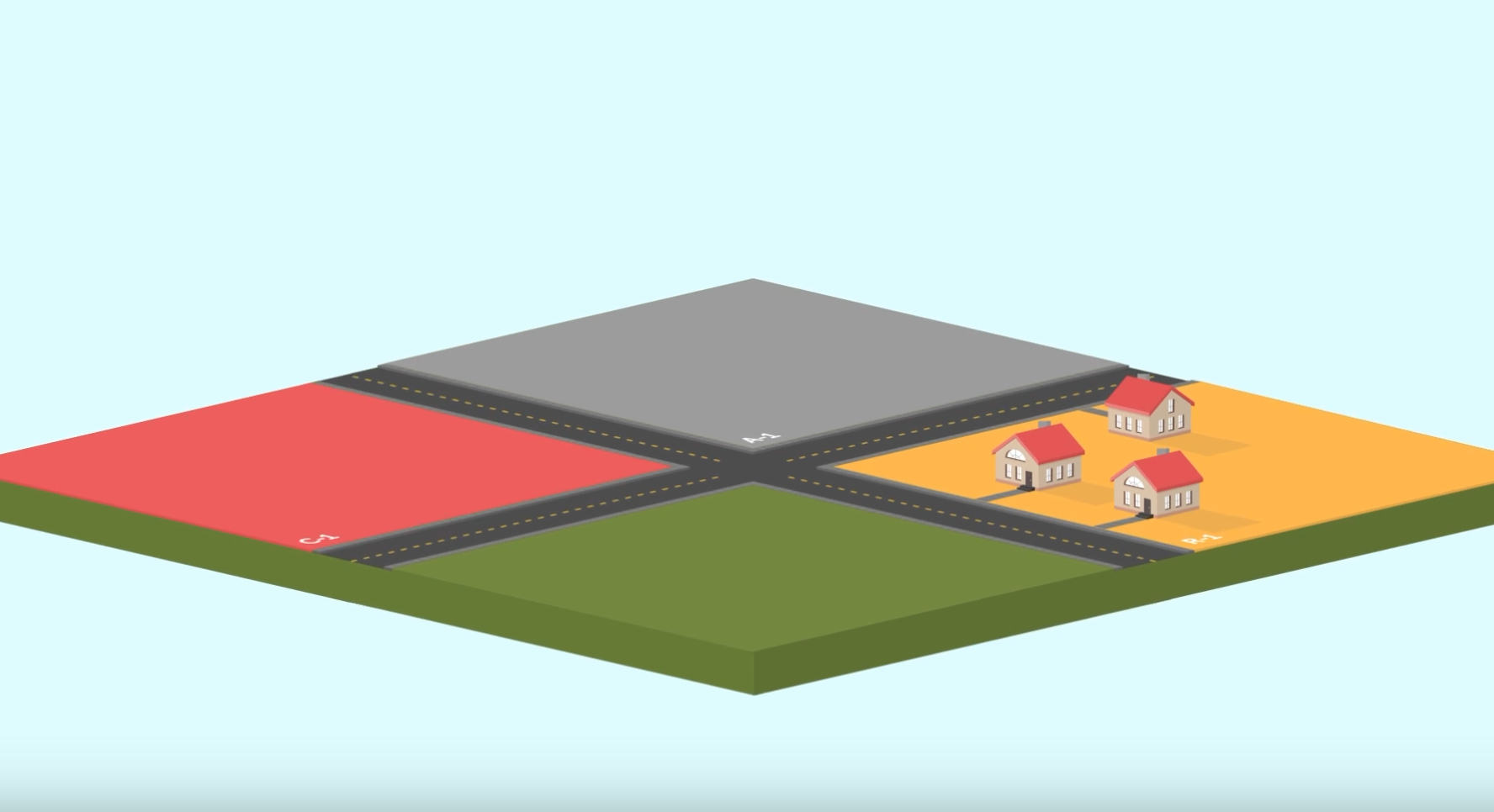
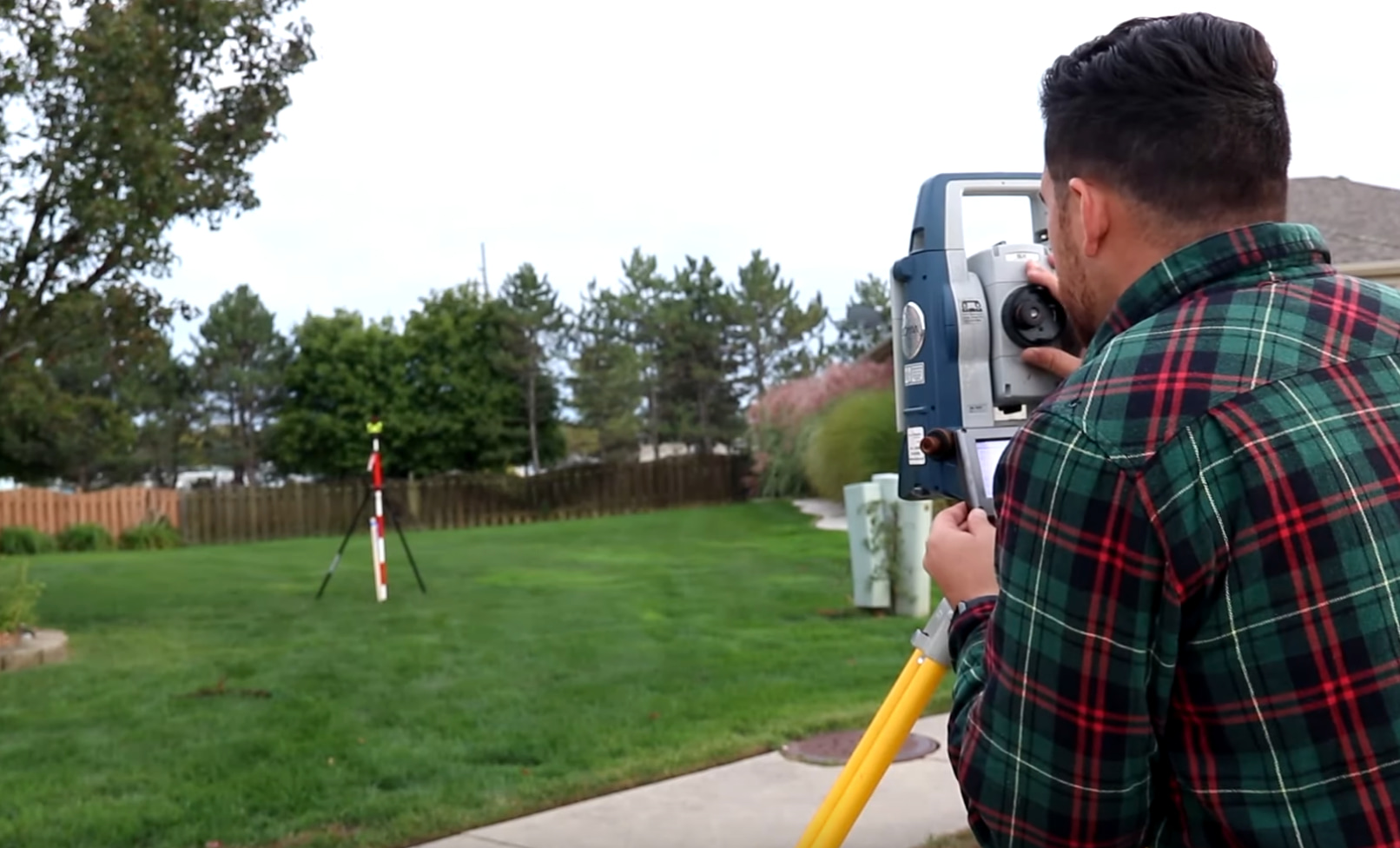
Land survey: Importance of Surveying to Landowners
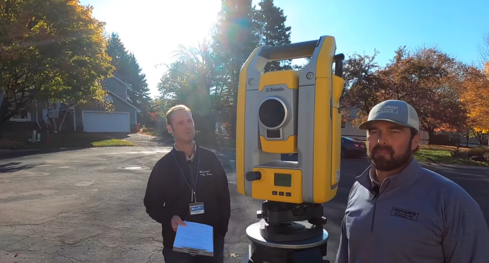
Before purchasing a property, we have to know about the boundary line. Otherwise, arguments will arise later without having any clear boundaries, whether the property [Read More…]