
Geodesy is the science of measuring the earth. The data obtained from geodetic and topographic surveys are used to create accurate maps and plans, to design the construction of industrial and civil real estate, to create navigation systems and in many other areas.
Thanks to the possibilities of geodesy you can accurately measure the distance between buildings, determine where the boundaries of settlements, municipalities, administrative boundaries between districts and regions and state borders between countries.
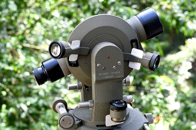
A specialist who performs this kind of work is a geodesist. He performs topographic and geodesic, surveying, delineation, design works.
The main task of a geodesist: to calculate the coordinates of characteristic points of the terrain. A specialist in this field performs geodetic or topographic surveying, depending on the task at hand. After that, he or she processes the measurement results, analyzes the data obtained and draws up a topographic plan or a map.
Types of surveying or why do we need surveyors?
So, let’s talk more about what kind of work includes geodesy?
Surveying works. This type of work is carried out for the purpose of carrying out the projected points of the site boundaries in kind. In other words, if the cadastre number of a land plot is known, the Unified State Register of Real Estate (hereinafter – USRN) contains its coordinates, but there are no fences on the ground, the demarcation will allow to determine the actual boundary of the land plot.
Internal network, which is created at each new horizon, serves as a direct basis. Points of the network are fixed by various signs by painting with marks on a level plane, dowels in the concrete surface or coring centers (crosshairs) on metal embedded boards.
Execution Survey. As the construction of buildings, to ensure their height and the planned position in relation to the installed structures, make geodetic work, called the executive survey. This involves those parts and elements of the building, the location of which depends largely on the stability and strength of the entire building. The accuracy in this case must match the accuracy of previous demarcation work.
The purpose of the execution survey is to determine the accuracy of the project in the field and to identify all the deviations from the project made during the construction. This is achieved by determining the actual coordinates of the characteristic points of the built buildings and structures.
Execution survey allows to check the accuracy of coincidence with the project, it is she who confirms the compliance of the erected building or facility with the construction rules and regulations and only by the results of the execution survey can really determine the quality of the construction. Certainly, the executive survey is conducted in the period of construction completion, i.e. before the facility is put into operation.
The construction survey allows you to control the results of construction and to identify all deviations from the project. For this purpose, simultaneously with the survey, the surveyor keeps a log of deviations from the specified design, in which the deviations of the erected building or structure from the design are noted.
Engineering and geodesic surveys is a type of geodesic works, in the course of which the survey and study of relief in the required territory, objects of existing buildings, road construction and other elements of planning is performed. The main purpose of surveys is to obtain materials of topographic survey.
Topographic and geodesic works. Survey of different scales is performed, topographic maps are updated and created, as well as photographing, planning of above-ground and underground facilities.
Cadastral geodetic works, geodesic works which includes drawing up cadastral territory plan, determination of land area, land surveying, determination of borders and conclusion of boundaries. The location of the borders of a land plot is established by a geodesic engineer by means of defining the coordinates of characteristic points of such borders with special equipment: GPS-receivers and tachymeters.
Topographic survey from the air. Modern methods of geodesy and the development of technology, allowed to simplify the procedure of topographic surveying. Today quadrocopters come to the aid of surveyors.


