Land surveying involves measuring and mapping the world around us using mathematics, advanced software and equipment. Surveyors calculate just about anything in the ground, in the sky or in the bottom of the sea. Also, polar ice caps are measured.
Land surveyors are employed both in the office and in the field. They use the highest technology in the field, like high-order GPS and aerial and terrestrial scanners for mapping, computing, and taking pictures as evidence. Surveyors are employed on a variety of projects ranging from land development and mining discovery to tunnel building and major construction, ensuring that no two days are the same. They are experts in measuring and determining land size. They also provide advice and information to help designers, architects and developers in their work. This is where a land surveyor in OKC works.
What Is Land Surveying?
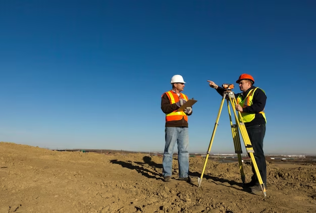
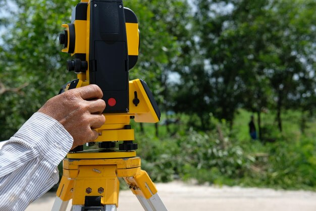
When you drive to work, you’ve probably seen surveyors in the area. There are those in hard hats who often look through telescopic devices mounted on tripods–gazing to the horizon and reflecting on an apprentice’s height staff.
Land surveyors are working on a variety of projects from planning and constructing new or improving existing infrastructure, development of land and buildings, construction (buildings, highways, bridges, sports fields, agriculture, etc.) to monitoring and environmental assessment.
Land Surveying Importance
Surveyors play an integral role in land development, from land subdivision planning and design to the final road, utility and landscaping construction. Surveyors are the first people to calculate and chart the land on any construction site. Then architects use these key measurements to understand and make the most of the landscape while designing and engineers to plan structures correctly and safely, ensuring that buildings not only fit in with the landscape but can be constructed.
In order to be visible to those standing on or near the property, it is important to mark the boundaries on the surface. It is also intended to provide the evidence required by the title insurer to exclude some default exceptions to coverage and thus provide “extended coverage” for off-record title issues, including issues that would be discovered through an objective survey.
Most property in previous surveys, names, easements, or wildlife crossings has significant problems with incorrect bounding and miscalculations. Also, many assets are produced over the years from multiple divisions of a larger piece, and the risk of miscalculation increases with each additional division. The result may be properties that do not coincide with adjacent parcels, leading to gaps and overlaps.
A Licensed Surveyor
A licensed surveyor is the only person legally allowed to conduct a survey to mark your property’s boundaries.
A licensed surveyor must identify the land boundaries and provide a certified plan on request that ensures that the project has been successfully completed.
It is vital to understand that surveys conducted by non-licensed surveyors do not have legal status and in the event of a boundary dispute will not be accepted as evidence.
The risk is not worth it, so make sure that you only use a licensed professional to track your property.
Non-licensed surveyors are able to conduct many other survey types including surveys of existing conditions, infrastructure, construction, environmental surveys, and monitoring.
Contact our land surveyor in OKC at Redhawk.


+ There are no comments
Add yours