
Every amateur photographer knows that drones are great for photography. Taking pictures from a bird’s-eye view is always eye-catching, it’s unusual, it’s mysterious and it’s attractive. Today, drone photography is available to almost everyone, and in turn, it has served to expand the capabilities of aircraft as well as the scope of their application. In addition to commercial photography, the need to use drones for mapping, 3D modeling and surveying has arisen. But the question remains – is it enough to use an amateur drone for industrial work?
And let’s answer right away, the truth is that aerial photos alone cannot be used to produce the measurable digital images needed for surveying. For that you will need photogrammetry.
Aerial photography is the photographing of an area or object from a certain height from the Earth’s surface by means of an unmanned aerial vehicle or controlled vessel survey. It is also a type of work, by means of which high-precision terrain plans with reference to any coordinate network are obtained. It is also one of the most common forms of remote sensing or measurement of terrain data from a distance.
What is aerial photogrammetry?
While aerial photography can be used to get beautiful shots from high altitude and get a general idea of the terrain, photogrammetry is necessary for surveying and mapping. Even simpler, photogrammetry is the science of determining dimensions from photographs. Photogrammetry is generally used to obtain maps, drawings, or three-dimensional images of a real object or area of terrain.
Photogrammetry involves taking multiple images of an object and using them to create high resolution digitized 2D or 3D models from which accurate measurements can be derived. Depending on the scale of the project, a model made with photogrammetry may require several hundred to several thousand individual images.
According to the GIS Lounge, basic principles of photogrammetry, such as using multiple perspectives or “sight lines” to determine coordinates, were first developed more than 150 years ago. However, the form of modeling has reached new levels of availability and use with digital imagery and aerial technologies such as drones. Before the advent of aerial photography, surveyors used equipment such as magnetic compasses, barometers, drafting tables and tape to determine topography.
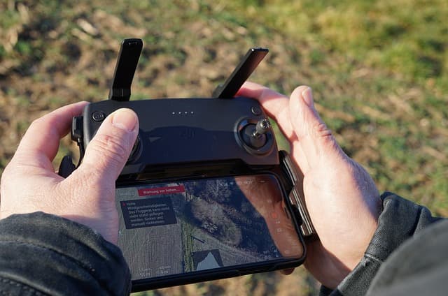
Today, photogrammetry can be done with a variety of devices, including drones, airplanes and helicopters. However, technological advances and lower cost have made drones the equipment of choice for many surveyors.
Types of aerial photogrammetry
Methods of aerial photogrammetry can be divided into two main groups: metric photogrammetry and interpretive photogrammetry. The first one implies using coordinate points on objects to visualize them with almost exact measurements. The second group includes a method that uses images of terrain (two or more) taken from different points in space and with the addition of terrain topography, including indicators of shapes, shadows, patterns.
Each method of aerial photogrammetry can be used for topographic survey, depending on the specifics of the work and the necessary attention to detail. Metric photogrammetry, however, remains the most accurate; it is also recommended for surveying work requiring centimeter-level accuracy. As well as metric photogrammetry and interpretive photogrammetry, the accuracy of the methods depends on specialized mapping software to combine images into a photogrammetric map and create accurate 3D models.
Applications of aerial photogrammetry
Creating maps using lidar and photogrammetric systems mounted on drones is becoming more and more common. The areas of application are expanding, while economies of scale are increasing due to the increased efficiency of advanced photogrammetric and lidar mapping techniques.
- technology and engineering. Unmanned photogrammetry can be used to create three-dimensional models of buildings and equipment.
- Construction. Includes urban planning, creation of models of future construction object, studies information on the land where the construction is carried out.
- Land Surveying. Surveyors in many different industries rely on photogrammetry when they need to understand the topography of a piece of land.
- Real estate. Realtors use drones to create accurate three-dimensional models of homes for advertising and sales, as well as organizing virtual tours.
- energy. Oil and gas companies use drones to monitor areas around pipelines for environmental changes over time. Land surveying is also widely used in this sector.
Ultimately, aerial photogrammetry benefits surveyors over ground-based methods, regardless of their industry. Aerial photogrammetry provides more data in less time and allows surveyors to stay away from hazardous areas by gathering the information they need quickly. The result is often better savings for companies. In addition, because photogrammetry depends on digital images, it can be used to create 3D models that are realistic and easily recognizable for easy use with various stakeholders. And in addition, saving time and resources at a time when the use of planes and manual labor is unprofitable and inefficient plays an important role.


