
Geodesy is called upon to solve the widest range of problems. The methods of geodetic measurements and the field of software for instrument operation are just as versatile and extensive. Programs for interpreting GPS-observations, 3D-modeling programs, processing of linear-angular measurements and other operations in which it is impossible to do without specially developed programs.
Explore top-tier Geodetic Software solutions designed for accurate mapping, land surveying, and spatial data analysis. Harness the power of precision with our state-of-the-art tools
Key Features of Modern Geodetic Software
Software can be classified according to several criteria:
- by technology of data processing (satellite data, total station measurements, geolocation data, etc.)
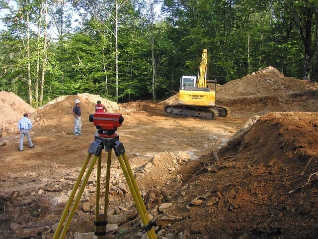
- by application field (topographic survey, objects construction, land surveying, etc.)
- by structural elements (modular, integrated model, etc.).
Also, the characteristics of software division into types can be their functionality and price. Often buyers are looking for the “golden mean”. Also, for convenience of geodetic equipment owners all programs can be divided into application programs, which work with GIS signals, maps, special, preparing measurements for work in application programs and universal.
The Role of Geodetic Software in Land Surveying
Stages of development, improvement of programs providing geodetic instruments operation directly depend on release of novelties in geodetic equipment. All existing geodetic programs, if possible, lead to a single standard. So, for example, the received images from cameras or other optics are processed together with carried out measurements for the further construction of three-dimensional models. Developers aspire to create programs processing data from total stations, satellites, distance meters and further work with them. Work is also underway to produce output results in a variety of application formats.
Advancements in Geodetic Mapping Tools
Also each new version of the programs becomes easier and more convenient in operation due to the updated interface and introduction of elements of electronic intelligence. In addition, documents received as a result of the work done: reports, journals – are produced in the form. And, of course, the direction in the development of geodetic software should be called their automation – transfer of more and more “manual” operations to the mode without human involvement.
When choosing software, first of all, it is necessary to define the tasks that it should solve. The next point should be a check of quality certificates, check the supplier, the ability to update the program via the Internet and a number of other characteristics. Of course, an important characteristic is the cost of software. The range of software is represented by Credo, Spectra Precision and Trimble brands.
Credo software products with a modular structure are widely used by consumers in various kits. The software from Spectra Precision is divided into several sections: for surveying and Gps receivers, for work in the field, a set for controllers. The software from the world brand Trimble, as well as all equipment of this brand enjoys special authority, proven by time.


